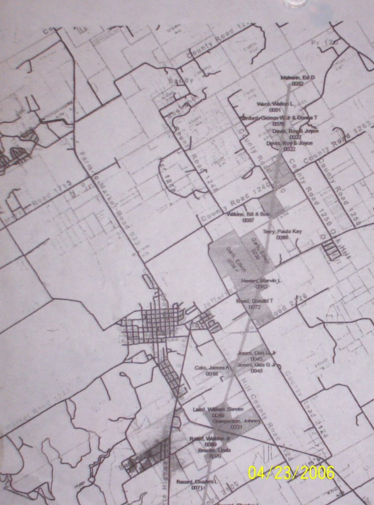
 and runs towards Osceola, or so I've been told. I only have a portion of the map that was copied and given to me. Sorry but my scanner wasn't working and I took a digital phot of the copy I had.
It is NOT Willie Kidd quality!

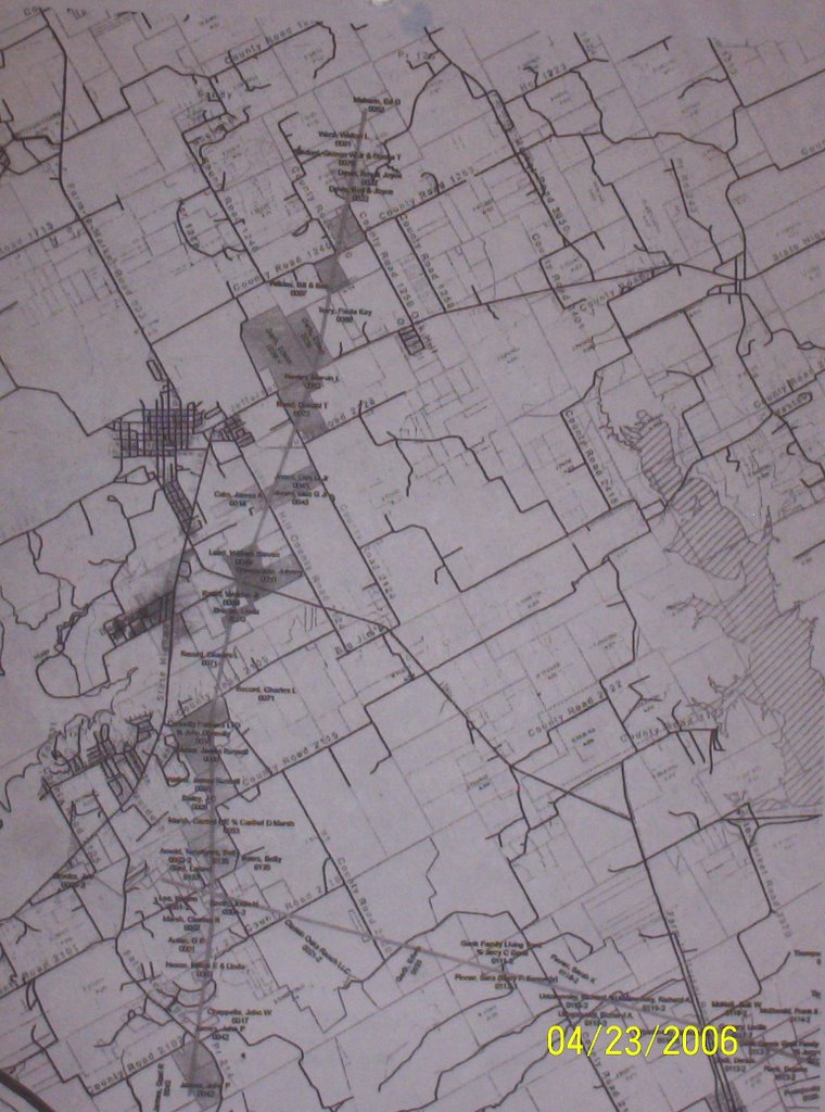
 and runs towards Osceola, or so I've been told. I only have a portion of the map that was copied and given to me. Sorry but my scanner wasn't working and I took a digital phot of the copy I had.